King's Heath Local History Society
Historical maps of King's Heath
Click on a thumbnail to view the full sized image.
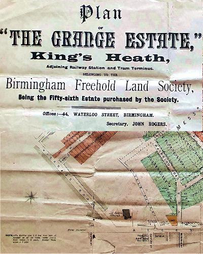
The Grange Estate in 1883
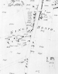
An 1840 tithe map of King's Heath
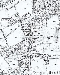
King's Heath map from 1887
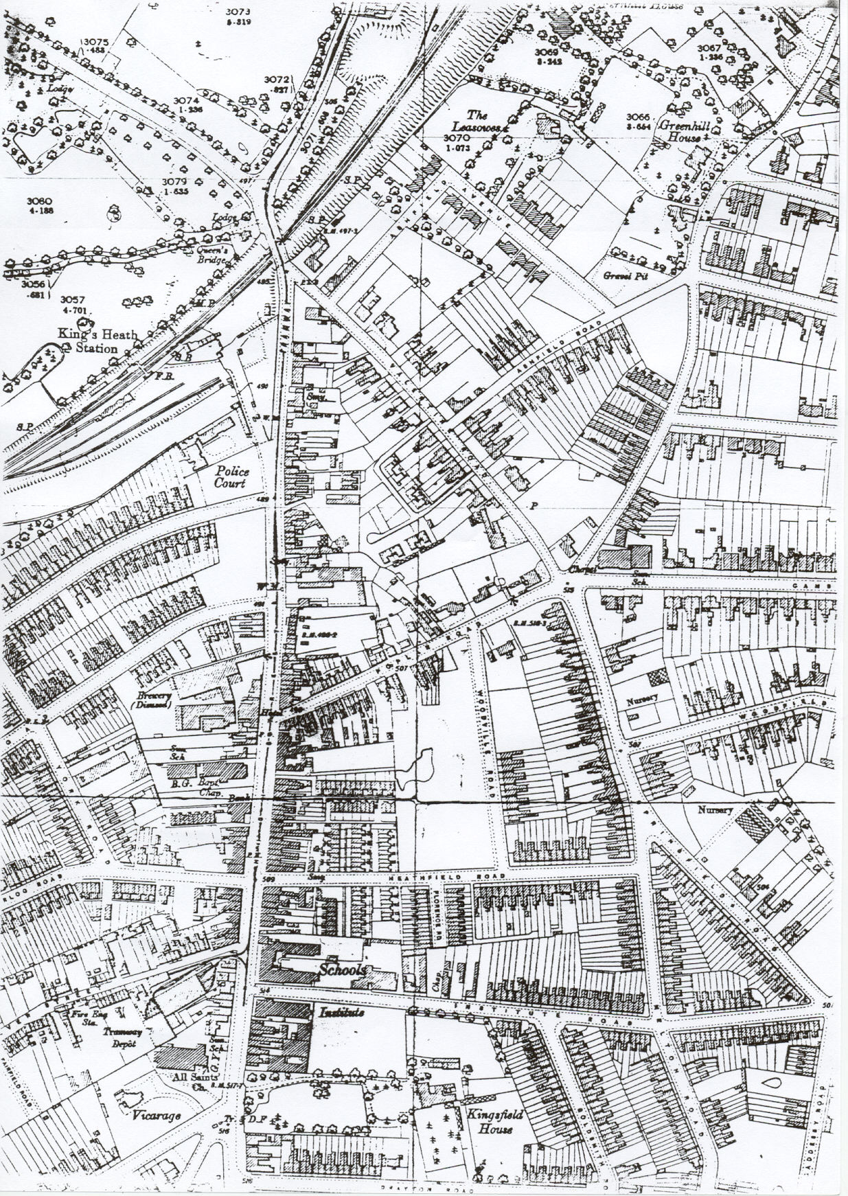
A map of King's Heath from 1904
The Grange housing estate including house plans.
Land ownership in King's Heath in 1843.
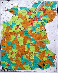
King's Heath land usage in 1843.